2 stitched images each covering over 180 degrees from the top of Kalapathar at around 5,643 metres altitude, the highest I've ascended. I took a series of images sequences 4 shots to cover 360degrees, stepping down about 50 meters between shots. This is a 360 degree sample from the top -
The stitching of this is not so good & the flare spoils the center to the right of Everest, but there's one chance with film before the days of on the spot review, delete & reshoot. I guess I should have taken a polaroid back as well.You get what you get returned from processing & I lost a set of four rolls to the processing gods. Getting a sorry from the lab didn't go down well at all, I wish I had processed them myself but I'd moved on from that a few years earlier.
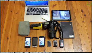
For the US trip the purpose & use of the digital equipment is a radical departure from film. This time around I'm using camera software I develop myself for Android devices. My history with developing camera software goes back the first digital camera's such as Kodak DC50, through camera phones HTC (windows) Sony, Nokia N95, and now a variety of Android phone & tablet devices. The Sony & Nokia N95 (with inbuilt GPS) re-sparked my intervalometer interests, not only could I trigger continuous shots by time interval but now also trigger with distance moved as measured by GPS. Android devices offer a plethora of additional sensors, 3D compass, accelerometer, gravity, lux, gyro, barometer etc etc so I put this altogether and released Imageotag as a free app in Google's Market.
It wasn't long before Leszek Pawlowicz was kind enough to post a review and shortly thereafter Red Hen Systems in Colorado saw some potential synergy with their Geospatial Ground Imagery & Corridor Patrol work so here I am in the USA with the digital equipment set.
Tomorrow some details of where my new developments are headed with integration of external cameras & various bluetooth devices.


